Imagine stepping out your front door and choosing between a morning coffee on Pacific Coast Highway or a sunset walk to the bluffs. If you are eyeing Corona del Mar’s Flower Streets, you are likely weighing convenience, charm, and daily ease. In this guide, you will learn what you can realistically walk to, how to navigate crossings, where to park, and what to expect day to day. Let’s dive in.
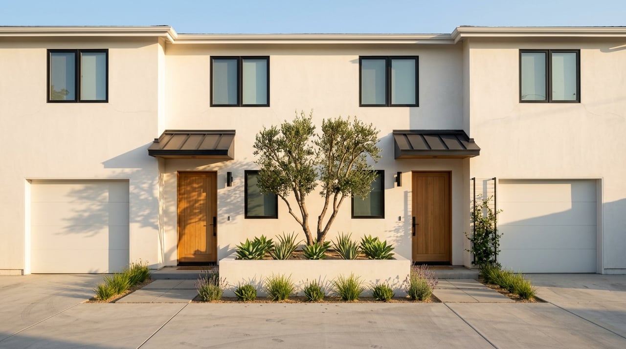
What the Flower Streets are
The Flower Streets, also known as Corona del Mar Village, are the north–south residential streets with botanical names that meet Pacific Coast Highway. Locals consider this a distinct village district with its own identity and rhythm. For clarity on boundaries and subareas, use the Corona del Mar Residents Association’s neighborhood map to see how the streets are organized and connected to the main corridor. You can review the map on the CdMRA site for reference: CdMRA village maps.
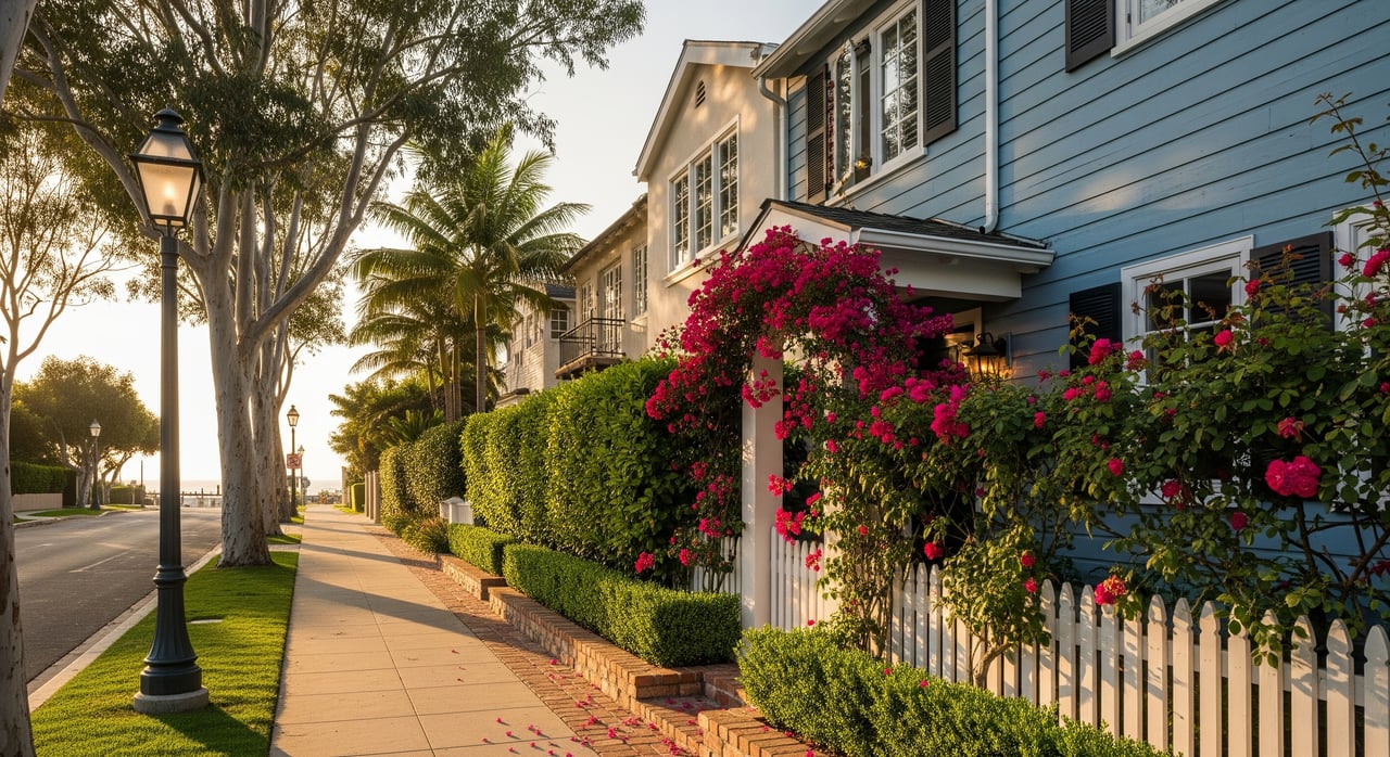
Why they feel so walkable
Living on or just south of Pacific Coast Highway often means most errands can be handled on foot. Shops, cafés, services, and small parks are close together, so your daily loop can be short and efficient. For a quick snapshot by block, check the general walkability view for the village core on Walk Score, then compare your exact address.
Everyday stops within minutes
From a mid‑Flower‑Street location, typical walking times often look like this, depending on your block:
- Pacific Coast Highway dining, coffee, and services: immediate access, often under 5 minutes.
- Sherman Library & Gardens: about 2 to 10 minutes for many streets. Explore hours and programs at Sherman Library & Gardens.
- Corona del Mar State Beach, Little Corona, and Ocean Blvd overlooks: roughly 8 to 20 minutes.
- Neighborhood parks like Begonia Park: just a few minutes.
- Saturday Farmers’ Market at PCH and Marguerite, 9 a.m. to 1 p.m.: an easy walk for most village addresses. Get details at the Corona del Mar Farmers’ Market.
Tip: Your exact walk time varies by the block and which side of PCH you live on. Try a quick map check for your favorite stops.
Pedestrian highlights and crossings
One of the neighborhood’s unique features is the historic Goldenrod Footbridge, a pedestrian link that helps you bypass traffic where Goldenrod meets Bayside Drive. Learn more about its history at the Goldenrod Footbridge.
Pacific Coast Highway is the village’s commercial spine. It brings energy and convenience, yet it is also a state highway with steady vehicle volumes. Regional studies have documented areas with pedestrian and bike conflicts along the coast. If you are crossing PCH, use marked crosswalks and expect variable traffic speeds at different intersections. For context, see the OCTA corridor studies overview.
The City of Newport Beach continues to pursue enhancements along the corridor. A recent focus is the Corona del Mar Commercial Corridor Study, which aims to elevate walkability, parking management, and the main street experience. Expect improvements to roll out over time.
Transit, biking, and parking basics
- OC Bus: Routes run along PCH and can be useful for selective trips. Frequency varies by time of day, so many residents use it as a supplemental option. Check route info via OCTA Route 1 map on Transit Wiki.
- Biking: You will find mixed on‑street conditions through the village. Some segments feel comfortable for confident riders, while others can be busy, especially near commercial nodes.
- Parking: Street parking on East Coast Highway is free but limited to 2 hours from 7 a.m. to 6 p.m., with active enforcement. Municipal lots offer paid options and some permit programs, and beach lots have seasonal pricing. Review locations, rules, and permits at the city’s page for parking in Corona del Mar.
What to check before you buy or rent
- Your exact block: South of PCH often has the shortest walks to the beach and shops, but every street has its own rhythm. Use a map and time your personal route.
- Crossings: Note where the safest and most convenient crosswalks are for your daily loops.
- Guest parking: Plan for peak times like sunny weekends and market hours. If you host often, check municipal lot options nearby.
- Amenities that matter: If the gardens, parks, or market are part of your routine, walk each route at the times you would actually go.
- Schools: The area is within the Newport‑Mesa Unified School District. Always verify assignments by address with the district. For general info, see Corona del Mar High School.
Is this lifestyle right for you?
If you love the idea of a village routine where coffee, errands, and the coast are part of your daily walk, the Flower Streets deliver a rare balance of convenience and coastal charm. You will trade some driving for more time on foot, and you will want a plan for parking and busy beach weekends. With the right address and expectations, the walkable lifestyle here can be exceptional.
If you are considering a move, lease, or investment on the Flower Streets, get tailored guidance from a local advisor who knows the blocks and the contracts. Connect with Jade Larney Real Estate for a strategy session that aligns lifestyle and long‑term value.
FAQs
How walkable are Corona del Mar’s Flower Streets for daily life?
- Much of the village core is considered very walkable, with many errands doable on foot. For your exact address, compare the general view on Walk Score, then test the route yourself.
Where can residents and guests park near the Flower Streets?
- Street parking on East Coast Highway is free with a 2‑hour limit from 7 a.m. to 6 p.m., and municipal lots offer paid options and permits; review specifics on the city’s page for parking in Corona del Mar.
Are there safe ways to cross PCH in the village?
- Yes, use marked crosswalks and plan routes at intersections that feel most comfortable; PCH is a state highway with documented pedestrian considerations in coastal corridor studies, as summarized by OCTA.
Is public transit practical for Flower Streets residents?
- OC Bus lines serve PCH and can work for select trips, though many residents use them as a supplement rather than a primary commute; check timing and stops through resources like Transit Wiki’s OCTA Route 1 map.
What improvements are planned to support walkability in CdM?
- The city is studying enhancements to the main corridor experience, including walkability and parking, through the Corona del Mar Commercial Corridor Study; changes will be implemented over time.